Hectare

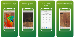
Free app providing mapping tools, satellite imagery, realtime rainfall and weather
Simple tools for precision agriculture

- Visualisation tools to view your maps and other agricultural data.
- Connect your WildEye rain gauges.
- Access to current & historical 10m Sentinel imagery.
- Colour, NDVI & more Sentinel bands.
- Access to DPIRD weather and rain radar data.
- Transfer maps between devices with Hectare using AirDrop.