Australian Tree Crop Map
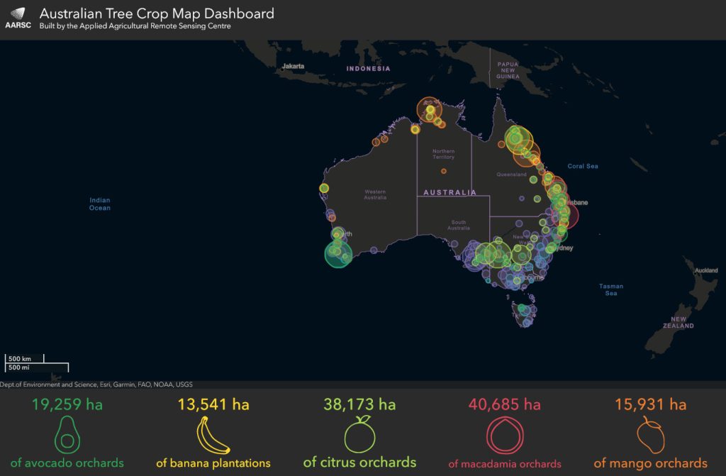
An interactive map summarising the area of commercial horticulture tree crops in Australia. By viewing the interactive map you can zoom in to see how many hectares of particular types of tree crops are in each region of the country
This website summarises the area of commercial horticulture tree crops in Australia.
Navigate the map with the ‘Bookmark button’, search for an address or place name using the ‘Search button’ or simply pan and zoom.
Summary metrics below the map update on-the-fly, based on the maps view extent. Clicking the map at national scale will return summary metrics by State, while zooming in shows LGAs.
Zooming in to local scale will show the full extent of each tree crop, which can also be clicked to show information in a pop-up.

